


Cover Image: Brian Yancey with Flagship GIS
Words by Jenny Lynn Davis | Images by Al Blanton
The Walker County Revenue Commission’s Reappraisal Department has announced significant improvements to the Walker County Geographic Information System (GIS) website. The updates are designed to make property information, tax tools, and public resources more accessible than before.
On the public side of the website, several new features now make it easier for taxpayers to manage their business online. Visitors can pay their property taxes, view probate records, check voter information, or even register to vote, all directly from the homepage.
While the public-facing site is more streamlined, the biggest improvements can be found on the subscription site, which is used most often by professionals such as realtors, surveyors, title workers, and attorneys.
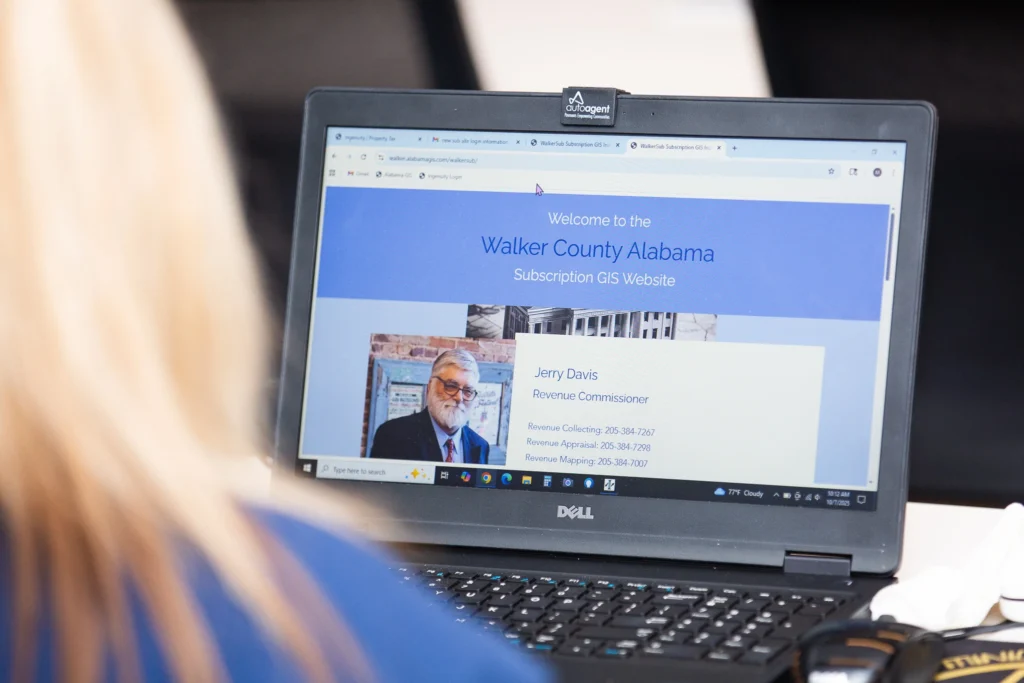
One of the most significant changes is the introduction of secure login credentials for subscribers. “That layer of protection benefits taxpayers, too,” said Ande Concord, a Mapper with the Revenue Commission. “It helps safeguard our systems against ransomware attacks and ensures the tax process continues running smoothly.”
The Revenue Commission’s Appraisal Department, in partnership with Flagship GIS, hosted an in-person demonstration of the new website features on Tuesday, October 7, 2025, at the Pinnacle Bank Conference Room in downtown Jasper. Attendees were shown the new tools and features added, along with existing feats, to help them get the most out of their experience with the subscription site.


Subscribers can now view more detailed data than ever before, including:
Expanded County Overlays
• Soil types
• Sales and transaction history (up to three years back)
• City limits fill
• Previous aerial photos
Photos & Sketches
Property photos and sketches are now accessible directly within the site. These images are sourced from the county’s appraisal database, and the Revenue Commission continually works to expand and update this collection.
Enhanced Legend Options
The site’s interactive “Show Legend” tool has been redesigned with user-friendly updates for a smoother, more intuitive experience when viewing maps and data layers.
Parcel Summary Tools
Subscribers can now export multiple parcel details directly to Excel or use the new “Mailing” option to download available mailing information in spreadsheet form.

The subscription website also now includes sales data to help realtors and title companies run comparisons when evaluating new listings. Users can also view their previous payment history, historical aerial imagery, and soil data, providing a more comprehensive picture of each property they research.
“These changes give professionals more tools to do their work efficiently and without having to come to the courthouse as often,” Concord said. “It’s more convenient, more accessible, and it offers deeper historical information than before.” WL
Walker County GIS public site: https://www.alabamagis.com/Walker/
Walker County GIS subscription site: https://www.alabamagis.com/walkersub/